Saint Petersburg, Russia
Represented by: Mr. Andrey Semchankov – First Deputy Chairman of the Committee of the Transport Development Infrastructure of St. Petersburg
The planning structure of St. Petersburg has a rather complicated configuration. It was formed under the influence of many factors, and the main of which is the geographical one. The city in located on numerous islands in the Neva Delta, where the river flows into the Gulf of Finland.
Geographical location and transit functions determined the passage of the international transport corridors through the territory of the city and the region such as North – South, Transsiberian, the 9th Pan-European transport corridor and the promising transport corridor – Europe – Western China.
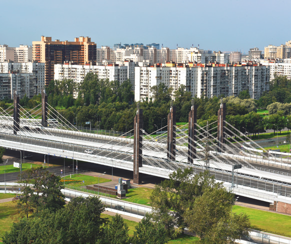
The transport complex of St. Petersburg is represented as by external transport (sea, rail, air, water and road types of transport), as well as intracity transport.
Total Area | 1 446 km2 (with suburban districts) |
Population | 5,35 millions |
Length of road network | 3 434 km |
Intensity | 2,4 km2 in outlying areas |
6,5 km2 in central areas | |
Number of bridges | about 800 |
Number of cars per 1000 people | 310 |
Annual level of motorization increase | 0,7 per cent |
Length of tram tracks | 239 km |
Metropolitan railway length | 124,8 km |
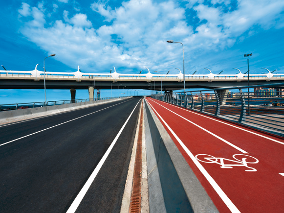
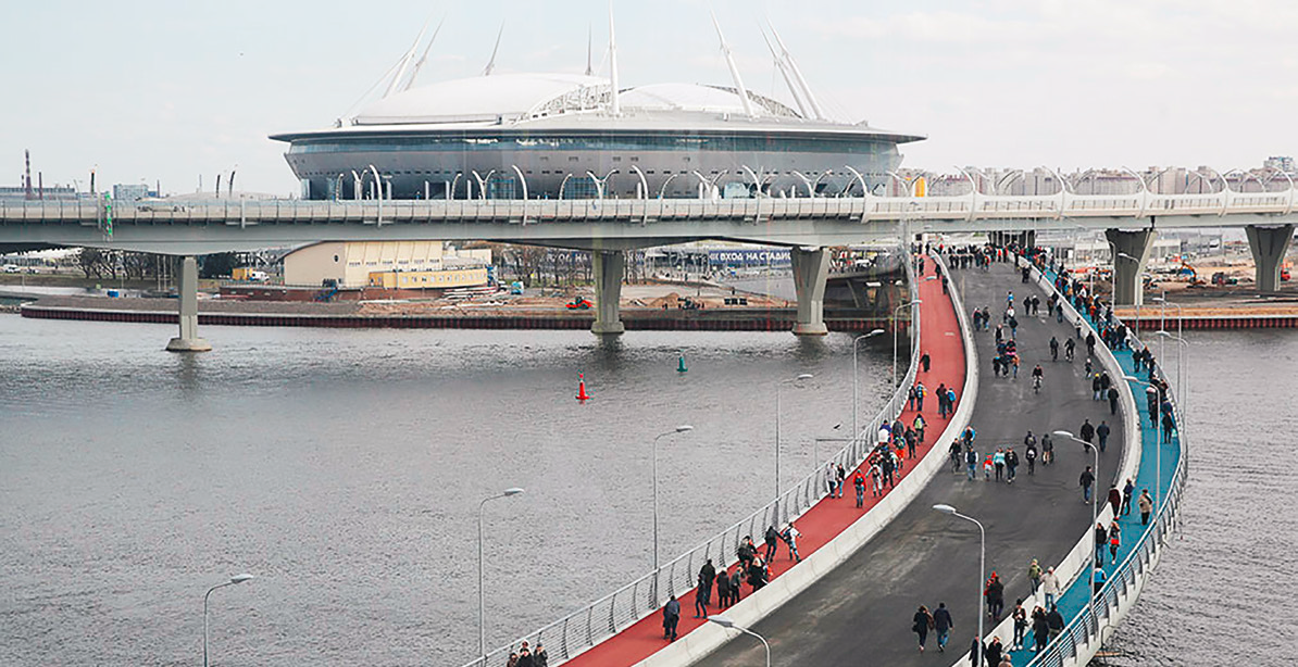
Length of Bicycle paths | 107 km |
The annual passenger traffic volume carried by urban public transport in St. Petersburg is about 2 billion runs (an average of 5 million runs per day):
- Metro – 41%;
- Bus routes (social and commercial) – 39%;
- Ground electric transport – 17%;
- Suburban rail transportation – 3%.
The route network of passenger transport in St. Petersburg consists of:
- 5 underground lines (length 124.8 km, 72 stations);
- 39 tram routes (761 tram cars);
- 46 trolleybus routes (680 trolleybuses);
- about 650 bus routes are served by 16 carriers with a total number of cars more than 7000 units;
- railway networks (about 100 stations and platforms within the administrative borders of St. Petersburg).